← Back
Tracking Albatross with Argos – Ancient Mariners of the Sea
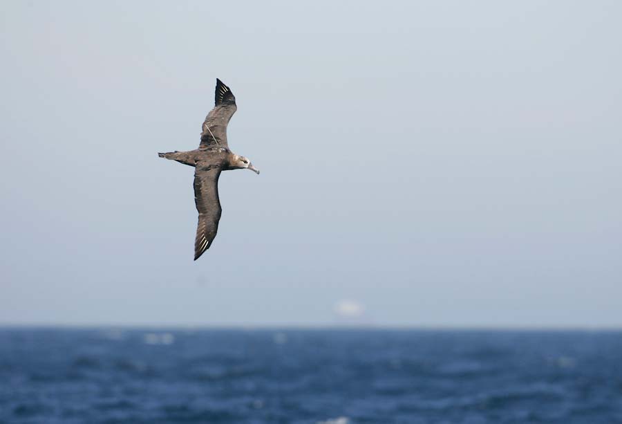
For three decades, Dr. David Hyrenbach has tracked North Pacific albatrosses by satellite. For thirty years, the “ancient mariners” continue to challenge his hypotheses, but the Argos data keeps getting better.
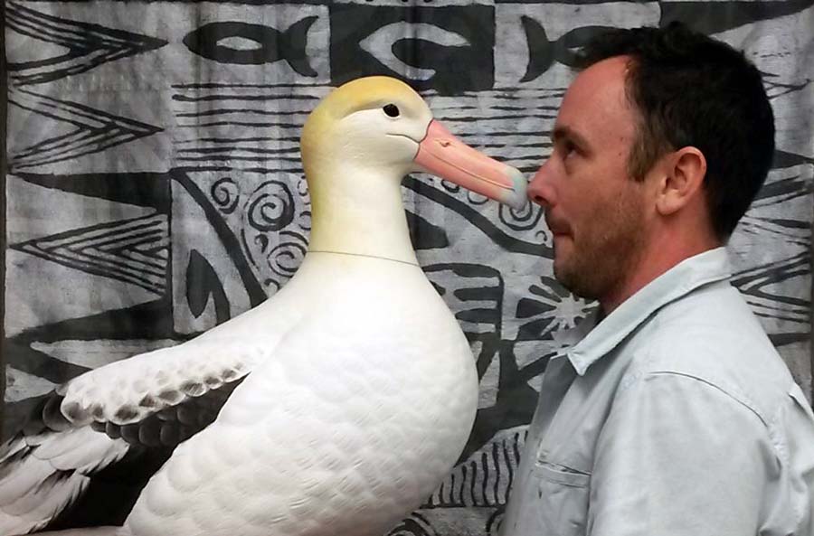
HONOLULU. David Hyrenbach grew up in Madrid, about as far from the sea as a person can be in Spain. Each summer, his family traveled to the coast where David spent much of those holidays in a mask and snorkel, with a sunburned back, wondering, “How can I earn a living doing this?”
Childhood Passion, Future Conservationist
Well, young David would be proud to know that he succeeded. After earning his doctorate at Scripps Institution of Oceanography, Hyrenbach has gone on to become a professor of Oceanography at Hawai’i Pacific University, where he leads the Pelagicos Lab. He’s also a research associate with the nonprofit, Oikonos. As a biological oceanographer, he studies seabirds (historically referred to as the sea’s ancient mariners in literature), because they read the ocean in ways instruments cannot. “Seabirds sense the ocean at really large spatial and temporal scales,” says Hyrenbach discussing their importance to the overall ecosystem of the sea.
Landing on albatross as his study subject was a happy accident. Hyrenbach planned to study fur seals, tracking their movements as they forage far out to sea, returning to their islands to feed their young, making it easier to attach and recover devices. Then, his advisor took a job in Seattle, offering Hyrenbach the opportunity to join a long-term climate study in hands-on seabird surveys. This is when he caught a glimpse of his first albatross. He was hooked. “They do everything that fur seals do,” he says, “and they’re even more endangered.”
Early Seabird Tracking – Trial & Error
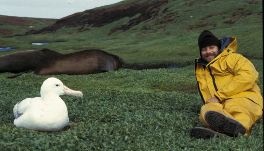
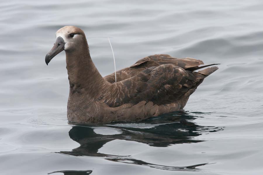
Hyrenbach’s first Argos permit dates back to approximately 1996. By 1997, he was at sea, and from the ship’s deck, attaching transmitters to the backs of black-footed albatrosses, then releasing them to continue their journey. He tracked their movements and collected data with early Argos systems. “I was a crazy grad student,” he says. By his own account he was clueless. Hyrenbach credits others in his field who helped see him through those early surveys. He recounts how Peter Prince, the British Antarctic Albatross Biologist, mailed him Tesa tape. It was accompanied by a hand-drawn diagram of how to sandwich the feathers for transmitter attachment. Hyrenbach also remembers sea turtle biologist, Scott Eckert sharing tips about his experience with Telonics tags. Eckert told him that a tag that won’t “chirp” may just be a result of a stuck magnet that needs a good “rap on a table.” Trade secrets that helped Hyrenbach along in those early days.
From Giant Trackers to the Future of Seabird Monitoring
Hyrenbach’s early transmitters were so big that he keeps one as a symbol of how far the technology has come. “I can’t believe we were putting those things on birds,” says Hyrenbach. Eventually he swapped those tags for Sirtrack transmitters from New Zealand. Now, he uses Microwave Telemetry’s small, solar-powered units. A vast improvement from those early, gargantuan tags.
Tag hardware isn’t the only thing that has evolved. The data have also improved. In his thesis years, fast-moving albatrosses returned many Argos location classes 0, A, and B, the classes defined as “coarse” or “unqualified” errors. He spent hours on diagnostic filtering in an attempt to salvage usable fixes. Today, Hyrenbach says, the proportion of class 1,2, and 3 locations is much higher, a marked improvement. And, with the stretching of duty cycling, Argos fees have trimmed, “which is often a concern for our grants.” He also reports a lot more data overall since the Kinéis nanosatellites joined the Argos constellation. He has already set up an account on the new Argos platform and says he was able to map and retrieve his archival data without any trouble. Though, he has yet to try two-way communication (a new feature which allows researchers to reprogram a tag mid-deployment), he’s enthusiastic about the capability.
Argos Tracking Uncovers a New Challenge in Seabird Conservation
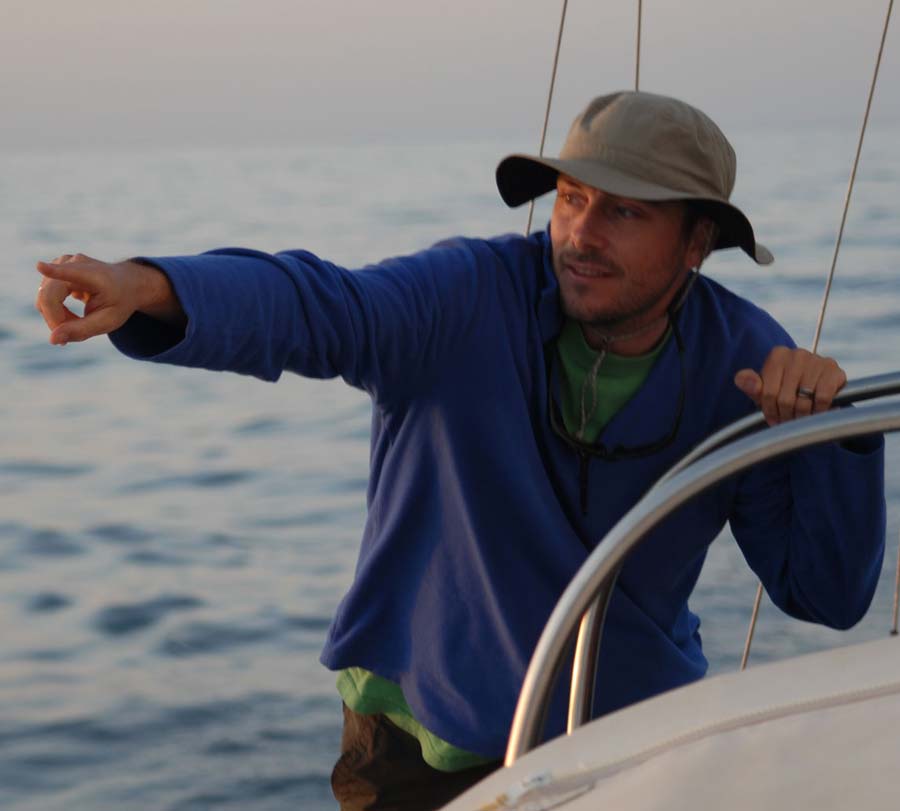
Arguably, Hyrenbach’s most formative result came from a failed hypothesis. In the mid-2000s, Hyrenbach and his colleagues noticed Hawaiian black-footed albatrosses commuting to the central California coast on chick-provisioning trips. Lasting approximately 24 days, these excursions were thousands of kilometers, round-trip. He wondered what the birds did after breeding. He expected them to leapfrog north from seamount to seamount, perhaps as far as southeast Alaska, creating a chain of marine sanctuaries.
Hyrenbach’s team caught non-breeding birds at sea near Cordell Bank, a protected seamount (underwater mountain) located west of Northen California, and fitted them with satellite tags. “The birds said, ‘yeah, great, nice idea,'” he recalls, “But they did something completely different.” The albatrosses circled the clockwise flow of the North Pacific’s high-pressure system. Then, their route forked. In warm-water years the birds continued on to Japan. However, in cold-water years they swung back toward Oregon and British Columbia. The seamounts weren’t the birds’ summer homes; they were a conveyor belt. The influx on albatross passing through had serious protection implications. This clearly defined route, traversed by such a large population meant a singular threat could impact far more birds than a resident population would suggest. “For conservation, it was a scarier result,” says Hyrenbach. The best predictor of how many birds arrived in central California wasn’t local conditions. Instead, it was the Pacific Decadal Oscillation (PDO). The birds, Hyrenbach concluded, operate at the scale of the whole North Pacific basin.
Fisheries & Seabirds – A Dangerous Crossover
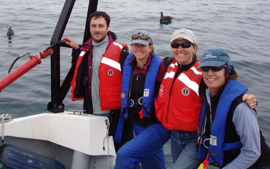
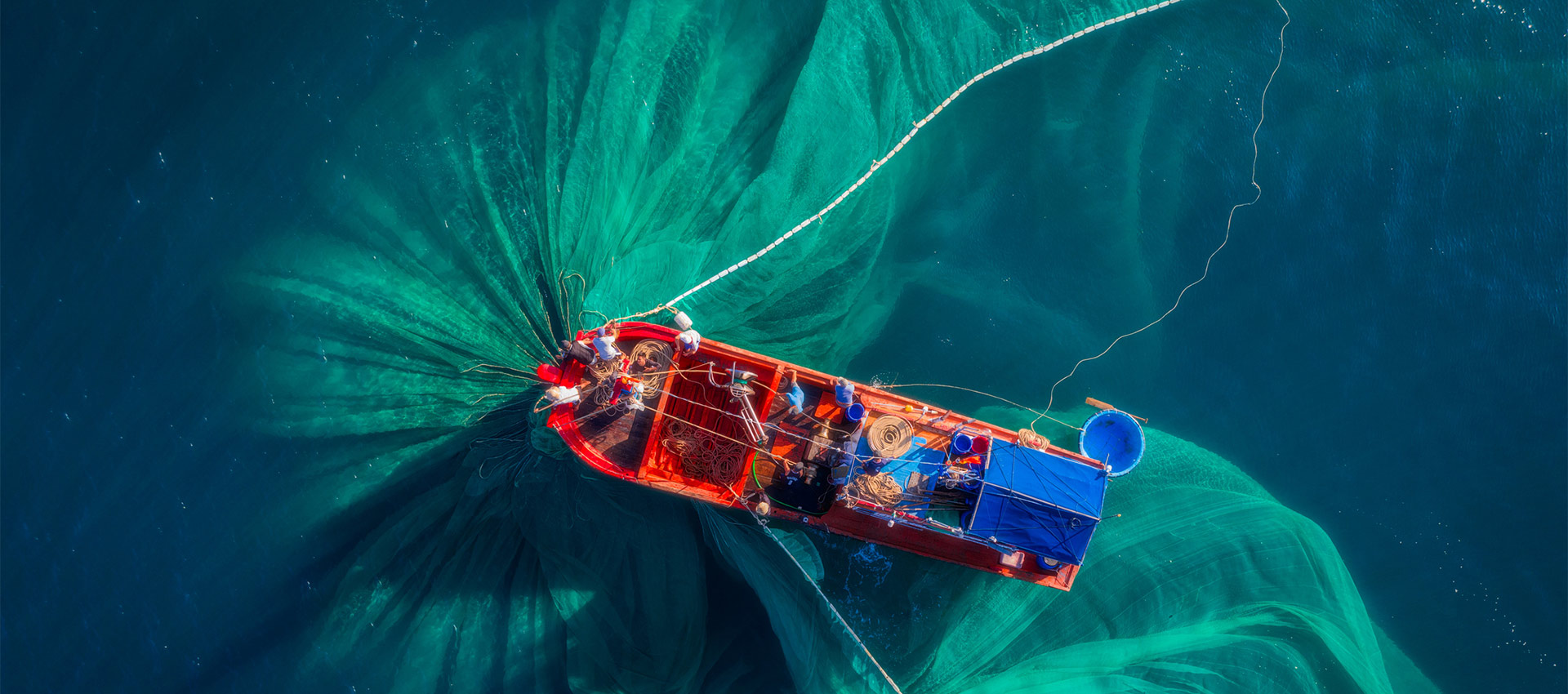
After discovering that the albatrosses he was tracking were operating in an entirely different way, Hyrenbach shifted. That basin-scale view drives his current work. In 2015, black-footed albatross bycatch in Hawaii’s deep-set longline fishery spiked. It remained high for three years. A forum of tracking specialists, oceanographers, and fisheries scientists traced a likely cause. Hyrenbach describes it in this way: in warm-PDO years, the frontal zone the birds favor shrinks and shifts south, then stronger westerlies push the birds east. This shift results in albatrosses, and fishing boats alike, to be forced into the same small area, thus bycatch increases.
A tori-line (bird-scanning line) program was implemented following these findings, and Hyrenbach says incidence of bycatch has since decreased. He worries about the next spike though, and the integrity of its measurements. National Oceanographic and Atmospheric Administration (NOAA) Fisheries has set the 2026 observer coverage rate for the deep-set fishery at 7%, down from 20% in earlier years. Their goal is to prioritize electronic monitoring. Hyrenbach worries the cameras, which monitor the ships’ trip back, will miss birds that slip from fishing hooks before the vessel’s return to port. He also says bird carcasses from bycatch are no longer being collected. Those carcasses provided researchers with valuable data like age, sex, the colony of each bird lost to bycatch. “If you kill a young bird, it’s not very important demographically,” he says, however, “if you kill the breeding-age bird, it means a lot more.”
Argos Tracking Seabirds for Real-World Solutions
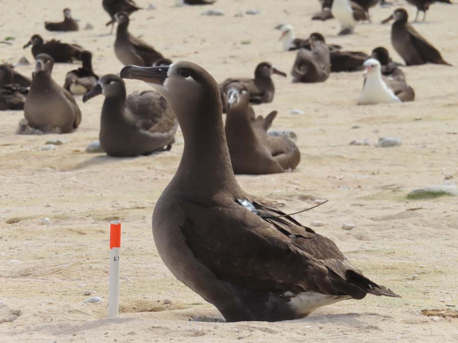
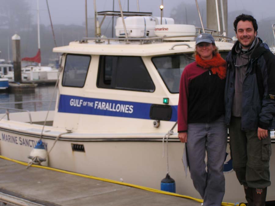
In an effort to gain clearer insight into precisely what kind of impact bycatch has on the albatross population and its implications, Hyrenbach has spent the past two years organizing expeditions to Kamole. Kamole, or Laysan Isalnd, is a remote atoll in the Northwestern Hawaiian Islands. This atoll holds the second largest black-footed albatross colony in the world, and by Hyrenbach’s account, the colony has never been tagged. Each February, a team travels to Kamole, the season when parents begin provisioning chicks. The team deploys Argos-linked GPS transmitters and archival geolocators. These devices produced the first data sets from the colony. Now, Hyrenbach and his collaborators, including seabird bycatch specialists Thomas Clay and Scott Shaffer, are merging data from every colony into one archipelago-wide distribution. This massive data is then overlaid on United States and international fishing efforts provided by Global Fishing Watch.
Tagging is Easy, Retrieval Requires Innovation
From determining survey populations to the collection and synthesis of invaluable data to prompt change, the steps in between range from “easy” to downright difficult. Many say that tag retrieval is where the field’s romance wears thin. “Tagging is easy,” Hyrenbach tells his students, “Retrieving is the hard part.” Birds that have been handled by humans, even just once before, remember the experience, especially on remote islands where a human, “sticks out like a sore thumb,” Hyrenbach explains. His rule? Use your hands to catch the bird the first time and save the net for a second capture. The birds may remember their interaction with humans, but nets are something they will not stand for twice. Hyrenbach accentuates that the work is characterized by long nights, naps (if you’re lucky), and ten-minute bursts of adrenaline that can leave you feeling drained.
Hyrenbach recounts a specific instance when the unspoken contract between researcher and animal subject was damaged, resulting in the loss of a tag. One stubborn bird from Kerguelen refused to return. He was working with French colleagues in the southern Indian Ocean where he deployed twelve tags. However, upon retrieval, only eleven were recovered. “Eleven is such an ugly number,” Hyrenbach remembers thinking, “I want twelve.” Overhead, the yellow painted breast of the bird carrying the twelfth tag circled, never descending back to the nest. For Hyrenbach, retrieving a tag is more than the promise of data, it’s a silent contract he enters with his bird subjects. “I bothered an animal,” he says, but, “We have an agreement with the bird: you’re carrying this for me; I’ll get it back and take it off as soon as possible.” The circling twelfth bird from Kerguelen decided to opt out.
Deployment Advice from a Lifelong Seabird Tracker
Despite the frustrations of retrieval, Hyrenbach encourages his colleagues to continue their work in tracking animals with Argos. His advice to a colleague planning a deployment is practical:
- Budget “maybe twice as much time as you think” necessary
- Use fresh staff for the night shifts
- Build in redundancy with VHF or a goniometer
- Run a sensitivity analysis early to estimate the number of birds you may not recover
What does Hyrenbach want funding groups to understand? The cost of analysis, that it takes money too. “It’s really hard to get money for writing papers,” he reiterates.

Goniometer – Ease Retrieval Woes
Hyrenbach noted, though he has not had the opportunity to incorporate the goniometer into his tag retrieval process, it is a key element in his “redundancy plan” when he gives colleagues advice. What is a goniometer? Fundamentally, a goniometer is a direction-finding receiver. Developed by our partners at CLS, the goniometer device helps users locate active Argos platforms in the field. Depending on the altitude and reception conditions, it can detect all transmitting platforms within a specific radius. Highly sensitive, the Argos goniometer is an essential tool allowing users to recover instruments at sea or failed tracking beacons by detecting:
- The direction towards the Argos platform
- The signal power of the Argos transmitter
- The GNSS positions transmitted by the platform (if any)
The goniometer is a powerhouse device that can store up to 200,000 messages internally, has a 100-kilometer radius for transmitting platforms, aids in the recovery of tracked animals or oceanographic equipment, and has more than 50 hours of autonomy, easing retrieval challenges for researchers like Hyrenbach.
Next Steps – Taking Action, Encouraging Change
Continuing his research, tracking these ancient mariners with Argos, Hyrenbach is turning to small, newly established albatross colonies on high islands, including sites on O’ahu and Lehua.
Unlike the low atolls to the northwest, which are increasingly flooded by storm surge caused by the changing climate, the high islands cold provide refuge for the birds as sea levels continue to rise. However, these islands that may appear to be a “Noah’s Ark” for the species, lie in close proximity to historic fishing grounds. Understanding how birds from these colonies use the ocean, and where their paths overlap with longline fisheries is Hyrenbach’s next priority. He’s also focused on completing the synthesis of data he’s collected from tracking black-footed albatross movements and international fisheries. All of the tracking data he’s compiled from the Argos system will go to the Seabird Tracking Database for other researchers to use.
Hyrenbach is also a “firm believer” in pelagic marine protected areas beyond national jurisdiction, the subject of the United Nations High-seas Biodiversity Treaty (BBNJ), whose first Conference of the Parties is scheduled for January of 2027. He says he would be glad to see his data used to advance that effort.
From hypothesis to action, the Argos system is a vital tool in tracking seabirds, and protecting the sea’s ancient mariners.
Woods Hole Group’s Telematics Team extends a warm thank you to Dr. David Hyrenbach for sharing his work and participating in the development of the latest Argos Community Spotlight.