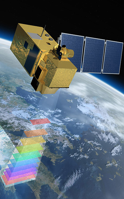
Satellite Telemetry Solutions
The Woods Hole Group is the unique Argos satellite system operator in North America.
We manage all sectors of satellite communication including oceanography, wildlife tracking, soil and moisture monitoring, herd and livestock management, etc.
Whether the need is for primarily data communication and tracking or a standalone back-up beacon, the Argos satellite system is the solution.
40 Years of Experience
The Argos system was created in 1978 by the French Space Agency (CNES), the National Aeronautics and Space Administration (NASA) and the National Oceanic and Atmospheric Administration (NOAA), originally as a scientific tool for collecting and relaying meteorological and oceanographic data around the world.
Over the last 40+ years Argos has grown significantly both in terms of its capabilities (today we monitor the locations and data stream for over 8,000 animals globally) and its scope (we’re now working to develop the last communication tools for new applications like smart agriculture).

1,000+ individual programs
100+ Goniometers sold or leased

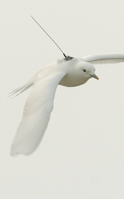
2g satellite tags used for birds
To each their own beacon
Argos is the only satellite constellation with tags so small that they can be used on birds weighing as little as 67g and tags even small enough to track neonate sea turtles. Argos is also the only system that has a library of open-source transmitter boards (and soon we will be adding open-source tags).
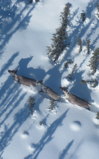
Argos is used on all animals from those that swim, walk or fly. In addition, you can find Argos on oceanographic instrumentation like gliders, AUVs, floats, and similar. You can find Argos tags tracking herds of animals including livestock as well as transmitting statistical information from LoRa base stations.
If there is a need for communication, there is high probably that Argos is the solution.
Wildlife Tracking
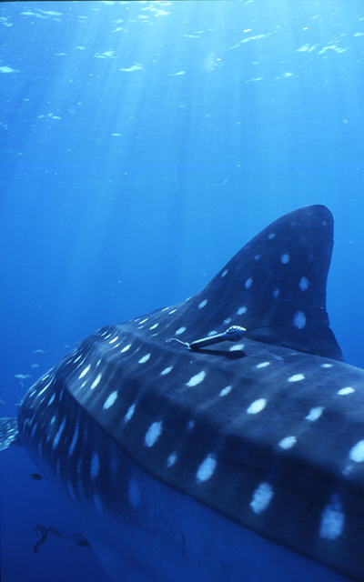
Operational Oceanography: Positions & Collections
Soil Moisture Monitoring
Herd & Livestock Management
Wildfire
Detection


Argos Products
Whether its collecting data, locating instruments at sea or mapping surface currents. Argos has the solution.
A wide range of transmitters
Airtime
A ready to use
range of hardwares
A Platform
Finder
Special
Data Processing
Modeling
Artificial
Intelligence
Dashboards
Latest News
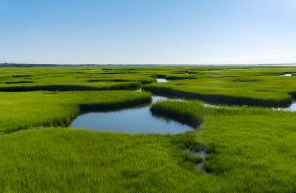
Racing the Tides to Save Local Salt Marsh
Woods Hole Group works to restore resiliency in diverse ecosystems across Cape Cod. In Dennis, MA, workers and volunteers undertake the task of planting more than 90,000 plugs of smooth cordgrass,...
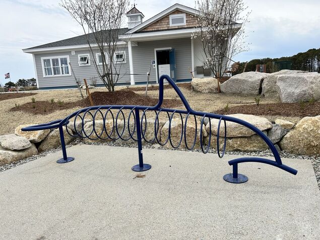
2026 Yarmouth Coastal Resiliency Fair
A Park's Reimagining Paints Backdrop for Interactive Resiliency Education This month, Woods Hole Group was proud to join the Town of Yarmouth in celebrating the reimagining of a once vacant lot to...
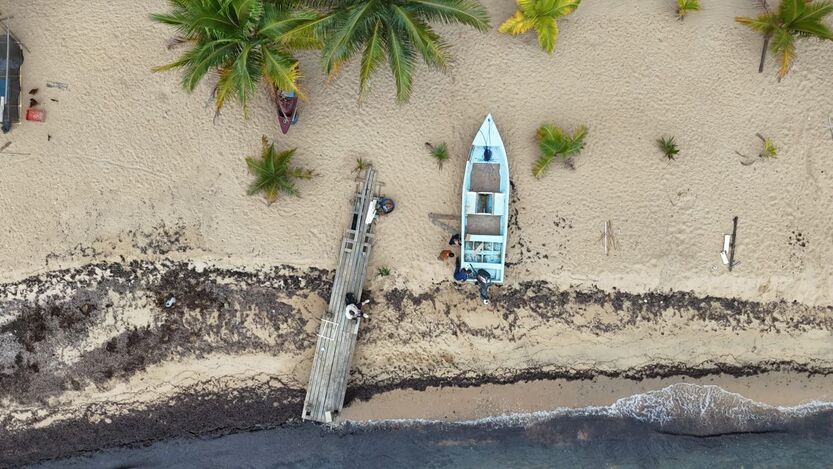
In Belize: NEMO is a Beacon for Sustainable Fisheries
In Belize, small-scale, sustainable fisheries are essential to the economy and culture. Across 386 kilometers of coastline, thousands of fishers depend on marine resources to sustain their...
Ask our Team
Let’s innovate your next project together
Subscribe to our newsletter and receive the latest current news about Woods Hole Group.