News
Search filters
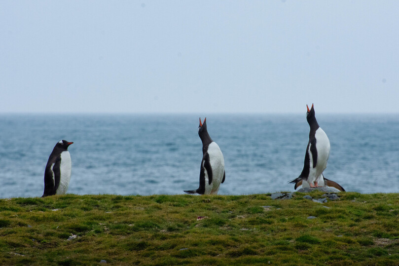
Woods Hole Group Helps ONC Transmit BIG Ideas in Antarctica
Southern Ocean, Antarctica - CLS and Woods Hole Group's Oceanographic Telemetry teams meet with Ruchie Custan, the Marine Equipment Specialist for Ocean Networks Canada (ONC), a University of...
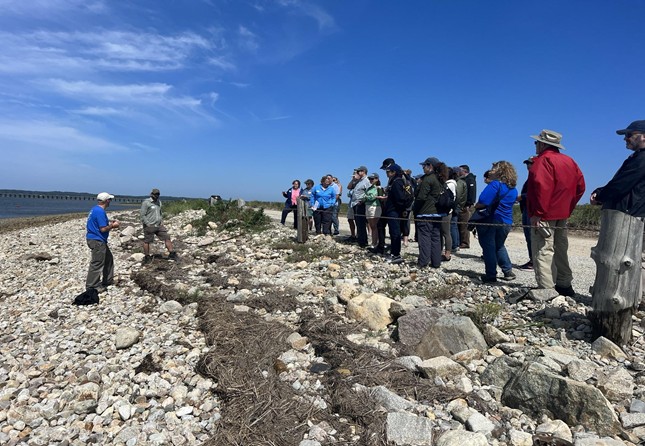
A New Partnership Aims at Strengthening Coastal Communities
Coastal communities need more than well-intentioned projects - they need pathways to real solutions. Woods Hole Group is dedicated to helping communities ensure that their shorelines are resilient,...
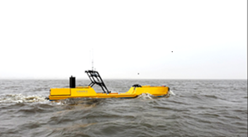
A 38-Day Autonomous USV Mission Sets a New Offshore Record
The Woods Hole Group and Chance Maritime Technologies have successfully completed an uninterrupted, 38-day, FAST Eddy Loop Current monitoring survey, 200nm offshore in the U.S. Gulf. This marks a...
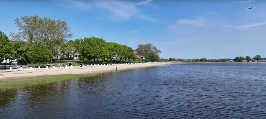
Strengthening Long Island Sound Communities Through Resilience Planning
Woods Hole Group is proud to be selected as one of the consulting partners supporting the latest round of the Long Island Sound Resilience Planning Support Program, which is helping fourteen coastal...
Building Coastal Resilience : One Grass Plug at a Time
Recently, Woods Hole Group teammates, Alex Carbone and Marina Chiafullo, volunteered their time with the Cuttyhunk STEAM Academy, joining middle schoolers from Falmouth’s Lawrence School to plant...
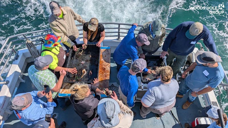
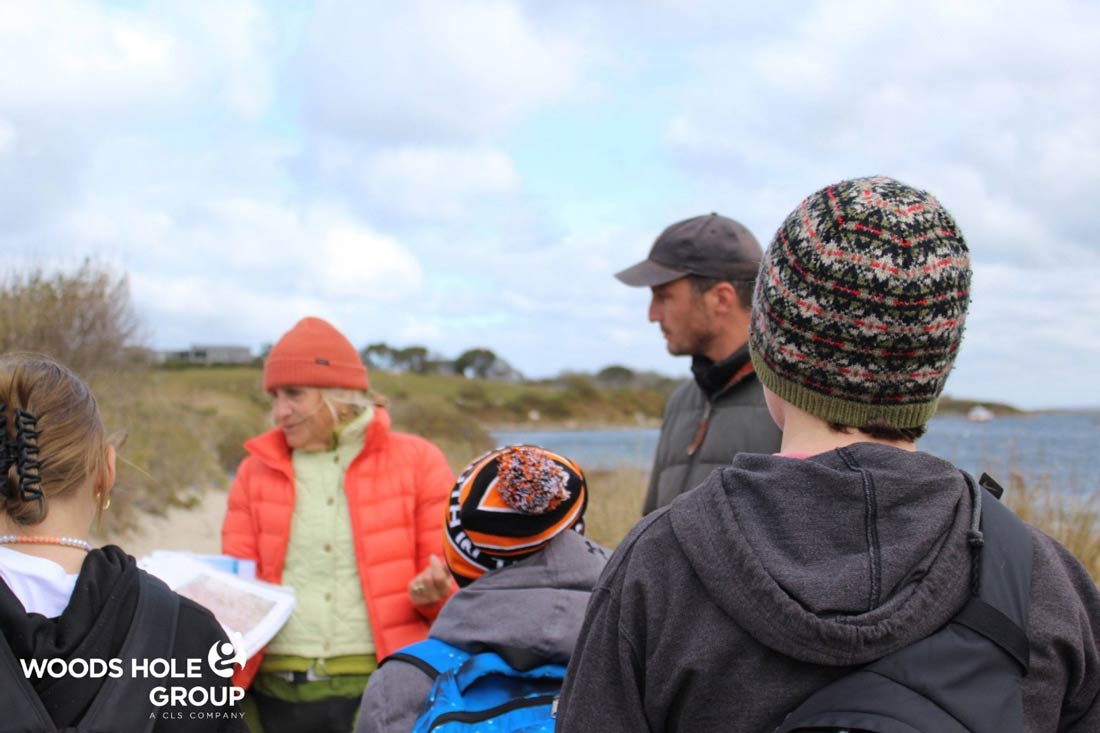
Hands-On Learning in the Field: A Successful LSPA Course Led by Woods Hole Group
Woods Hole Group recently hosted a sold-out LSPA Field Sampling Course, led for the third time by our Senior Environmental Scientist and Applied Ecology Team Lead, Ted Wickwire. The full-day...
Building Coastal Resilience in Boston
In response to the growing threat of sea level rise and coastal flooding, the City of Boston launched "Climate Ready Boston," a citywide initiative to prepare neighborhoods for the impacts of...

A New Era of Argos Smart Environmental Solutions
Back in 2018, Kinéis, the brainchild of CNES and CLS, was created with one objective: revolutionizing the first space IoT dedicated to the environment. Now, the adventure has come full orbit thanks...

Argos Services Enhanced with 4th Successful Launch of 5 Nanosats
We are excited to share that our Space IoT partner Kinéis and their launcher Rocket Lab have successfully launched another 5 nanosats for the fourth time. The addition of these state-of-the-art...
Sustainable Fishing: Protecting Oceans, Securing Our Future
Revolutionizing Sustainable Fishing with Woods Hole Group's VMS Technology At Woods Hole Group, we’re committed to advancing sustainable fishing through the power of innovative technology. Our...

A Third Milestone for Argos Services: Successful Launch of 5 More IoT Nanosats
Congratulations to our Space IoT partner Kinéis and their launcher Rocket Lab on the third successful launch of 5 more nanosatellites. With these additional satellites now in orbit, the...
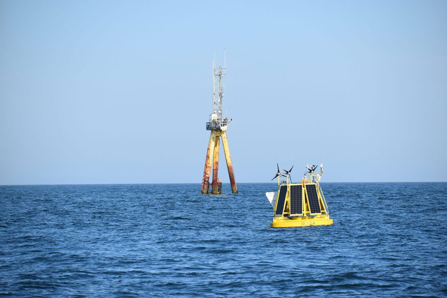
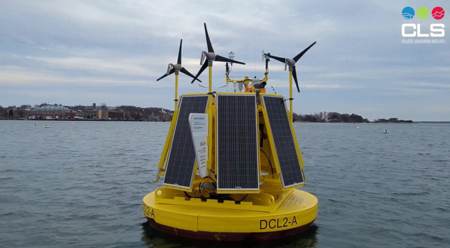
The Woods Hole Group Unveils DeepCLiDAR Buoys to Support Gulf of Maine Offshore Wind Development
The Woods Hole Group, the U.S. subsidiary of CLS, is pleased to announce that it has three DeepCLiDAR buoy systems ready for deployment to conduct wind resource assessments, metocean, and marine...

Another 5 New IoT Satellites for Your Argos Solutions
Well done to Kinéis, our space IoT partner, and Rocket Lab, their launcher, for this second successful launch! A few hours ago another five nanosatellites were placed in orbit, joining the first...
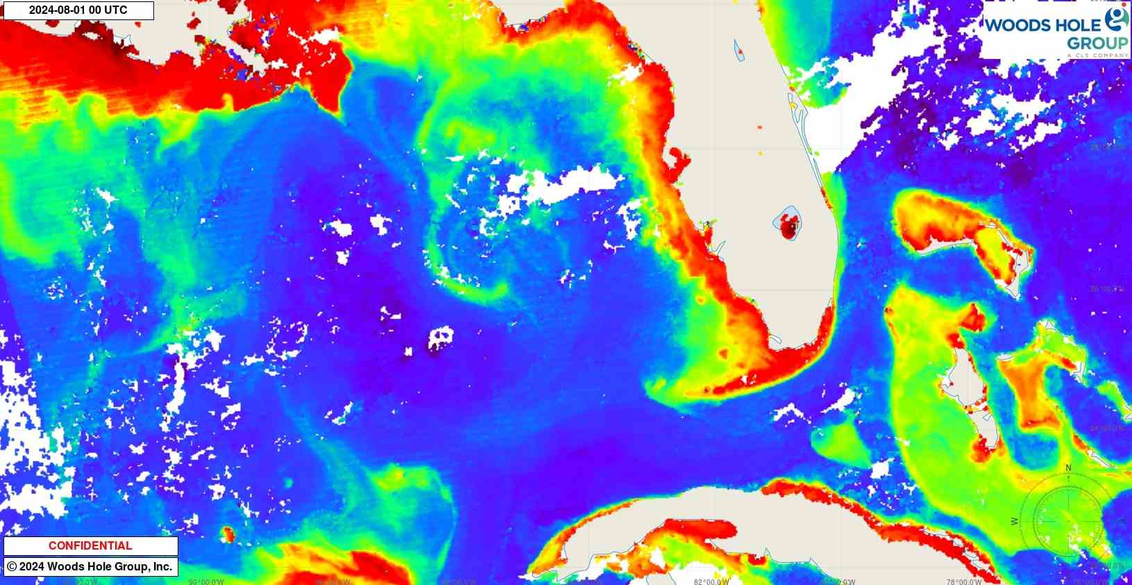
Operate with Confidence: How EddyWatch® Delivers Real-Time Ocean Current Intelligence for Safer Offshore Operations
EddyWatch®: Real-Time Ocean Current Monitoring for Safer Offshore Operations For offshore operators, navigating the Gulf of Mexico and the waters from Trinidad to Brazil presents unique challenges,...
NEMO: The Game-Changer for Sustainable Small-Scale Fisheries
Let's talk about NEMO! It is the groundbreaking all-in-one monitoring system specifically designed for small-scale fisheries. NEMO offers unparalleled hybrid global connectivity, utilizing GPRS/IoT...

Building Resilience: How Hull’s Dune Restoration is Protecting the Future of North Nantasket Beach
Project Overview As part of the Town of Hull’s ongoing efforts to enhance coastal resiliency, we are excited to highlight the North Nantasket Beach Resilience Dune Restoration Project. This project,...

Argos Services Showcased During Shark Week
Sharks are among the top three marine animals tagged by Argos, not only due to their iconic nature but also because they are apex predators. Biologists interested in tracking their movements and...

Woods Hole Group’s Solutions Are Getting a Boost
Congratulations to our Space IoT partner Kinéis and their launcher Rocket Lab for their successful launch! Today, the first five of a planned constellation of 25 nanosatellites are in orbit,...

New Generation of Argos Services are on Their Way With the 1st Launch of the Kineis Constellation on the 20th of June!
Kinéis, our Space IoT partner, has announced that it, along with RocketLab, will launch the first five nanosatellites carrying new generation IoT payloads for Argos Services, on the 20th of June....
DeepCLiDAR Buoy: Unlocking New Real Estate for Offshore Wind Energy Production
The Woods Hole Group DeepCLiDAR innovation, extensive experience of in-situ metocean data collection, satellite radar observations, data derivation, and high-resolution wind field modeling, all...
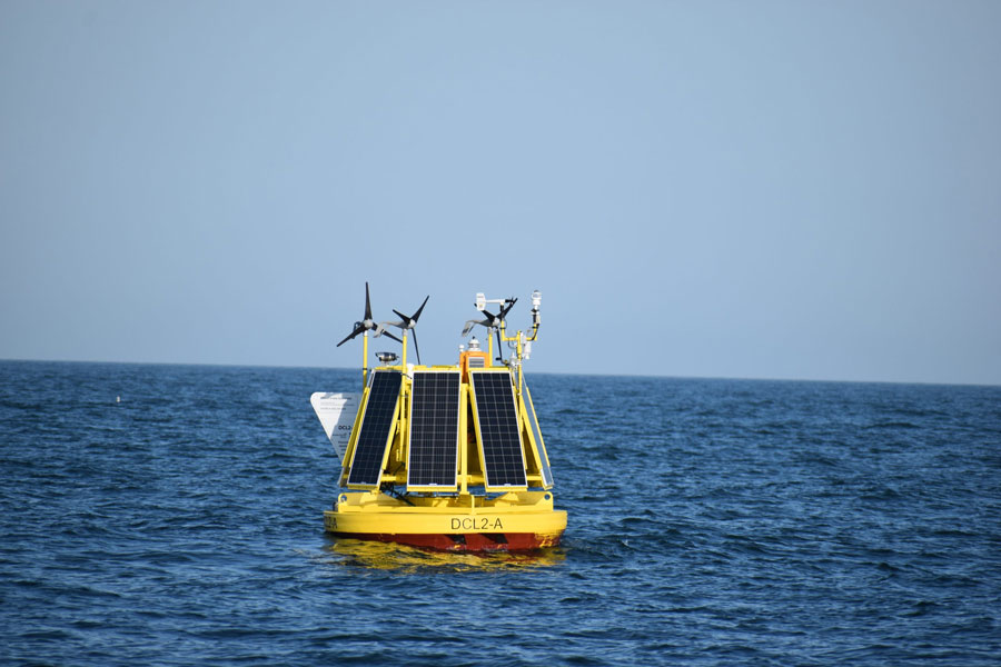
DeepCLiDAR: Stage 2 Carbon Trust Certified Floating LiDAR
DeepCLiDAR, designed and built by CLS (a subsidiary of the French Space Agency), in partnership with the University of Maine, has obtained Stage 2 Carbon Trust Certification, making CLS a unique...
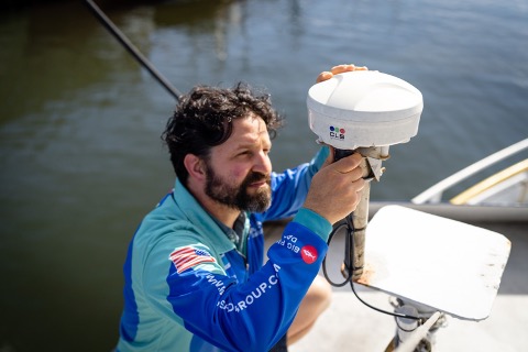
Woods Hole Group – Satellite Telemetry
At Woods Hole Group, Inc. we are the unique Argos satellite system operator in North America. Argos is a unique worldwide satellite location and data collection system dedicated to...
Happy Holidays & Happy New Year!
We all know our planet is suffering, so let's get straight to the point. At Woods Hole Group, we have: data, continued services, expertise, value added proposals, people who care, to make our planet...

Debbie Stakem: A 32-Year Journey with Argos
An enhanced global system like Argos requires an enhanced global support team and, with its 30 different sites around the world, CLS is proud to have an excellent international userservices team....
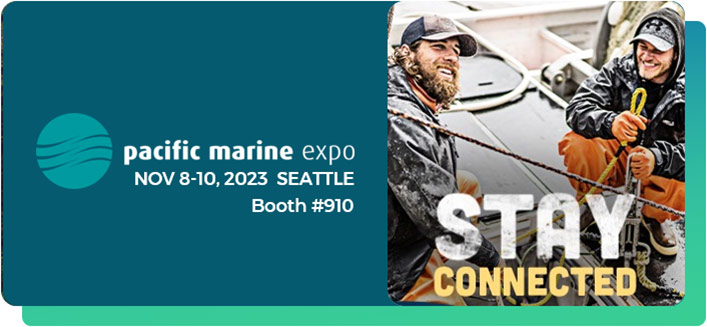
Woods Hole Group Displays its Integrated Satellite Solutions for Sustainable Fisheries Management at Pacific Marine Expo 2023
The Pacific Marine Expo 2023, held in Seattle, Washington, is an exciting event for the commercial fishing industry, with numerous companies showcasing their innovations and solutions from across...
Can the Cape’s continually flooded streets be saved? A first look at possible solutions
On Cape Cod, low-lying roads are especially vulnerable to changes in sea level, whether churned up by storms or as a result of longer-term rise and erosion. With an eye toward making the region's...
NEMO VMS is Type-Approved for the American Lobster Fishery in the North Atlantic
NEMO VMS is type-approved by the Atlantic States Marine Fisheries Commission for the American Lobster Fishery in the North Atlantic.
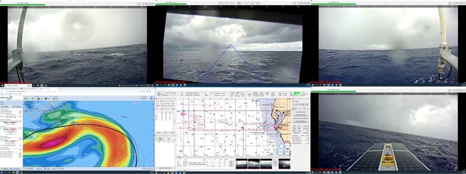
SeaTrac’s SP-48 completes 800 nautical mile offshore Loop Current monitoring mission in the Gulf of Mexico
SeaTrac Systems, Inc. (SeaTrac), in collaboration with the Woods Hole Group (WHG), successfully completed a 21 day over the horizon, deployment of SeaTrac’s SP-48 solar powered Uncrewed Surface...
Industry Focus: Woods Hole Group
Woods Hole Group solves environmental engineering problems worldwide with a focus on serving clients along the coast, in the ocean, and in wetland and terrestrial environments. Relying on service,...
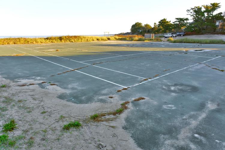
Dune Restoration Study Funded For Stoney Beach In Woods Hole
Resilient Woods Hole, a group working to prepare Woods Hole for the impacts of climate change, has received state money to pay for a feasibility study for dune restoration at Stoney Beach. Although...
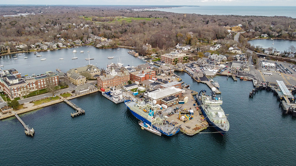
Community and Climate Risk in a New England Village
Woods Hole transformed from a whaling village to an ocean science research hub. Now, its next makeover involves a comprehensive climate change adaptation plan.Main Photo: Eel Pond (background left)...
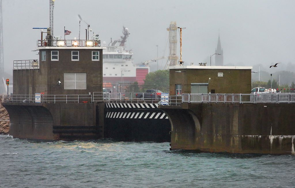
Sea level rise threatens New Bedford’s fishing port and could put South Coast towns under water, new report finds
Rising seas along the South Coast are projected to have catastrophic effects, inundating towns around Buzzards Bay and Narraganset Bay, flooding out roads, and wiping away salt marshes that store...
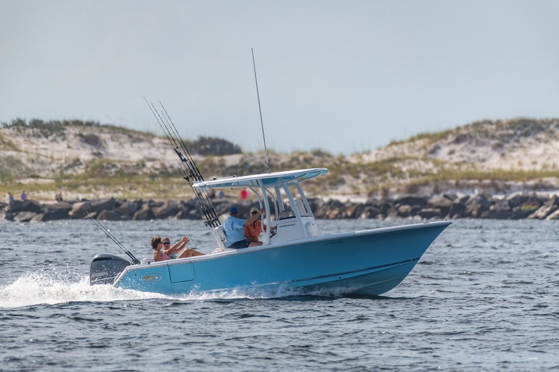
New regulation in the Gulf Of Mexico
Based on the new NOAA/NMFS regulation, recreational charter-fishing vessels in the Gulf of Mexico have to be equipped with a Vessel Monitoring System in order to comply with local regulations. CLS...
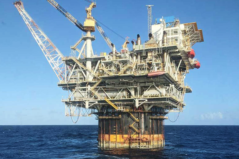
Active Loop Current Drives Stellar 2021 FAST Eddy Season
In what has been a highly active year for operations in the Gulf of Mexico, a powerful Loop Current event threatened offshore assets with strong, dynamic ocean currents. In the face of unsafe...
Cape Cod Commission To Host Virtual Workshops On Low-Lying Roads Project
BARNSTABLE – The Cape Cod Commission recently announced that it is partnering with several Cape towns to educate the public in identifying at-risk roadways due to sea level rise in a series of...
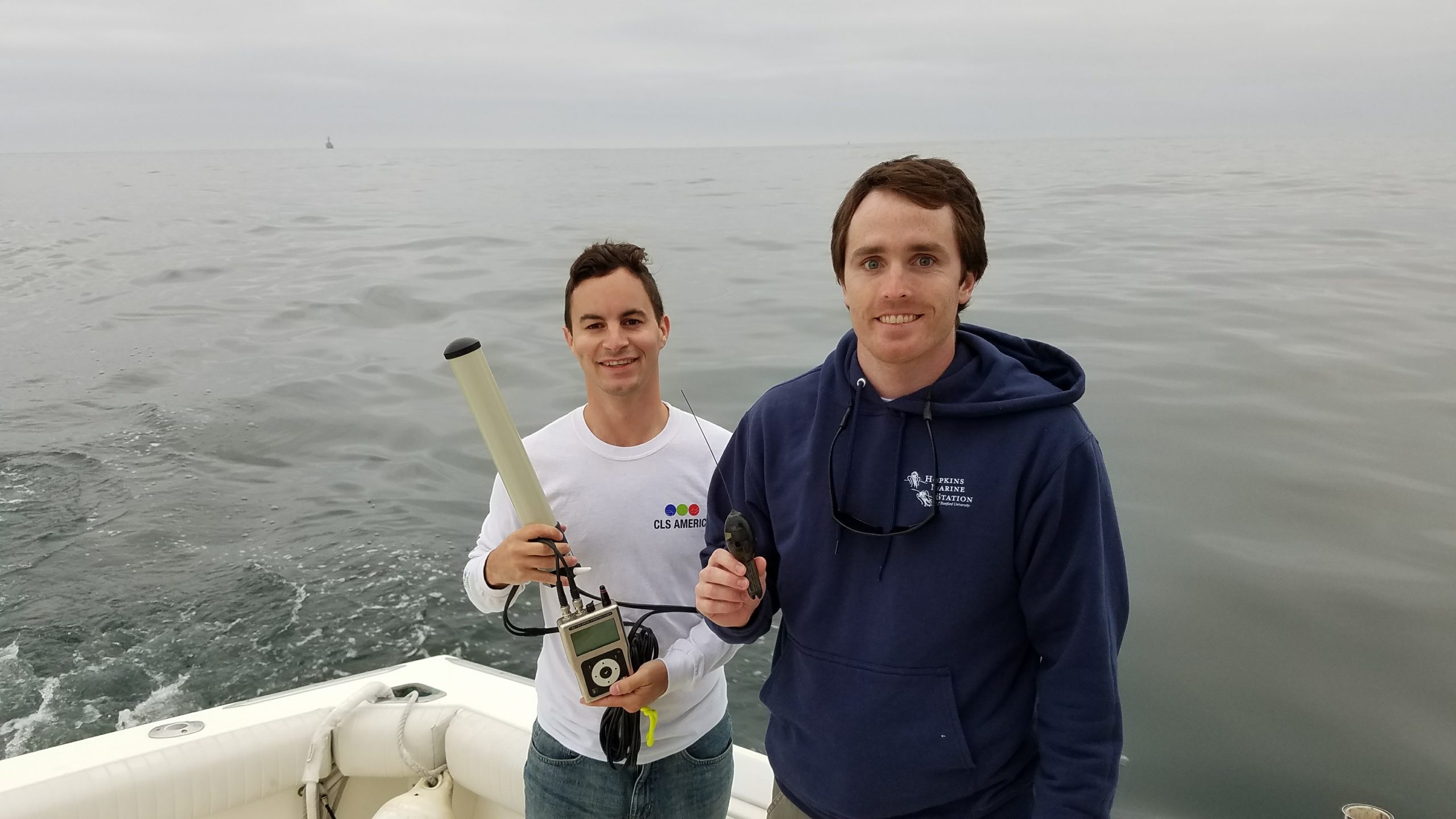
Thomas Gray: Satellite Telemetry for Marine Animal Tracking
In this year’s final episode of SeaState, we are talking to Thomas Gray about Satellite Telemetry and Marine Animal Tracking. Thomas joined the Environmental Monitoring team at the Woods Hole Group...
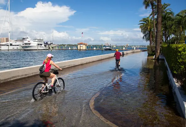
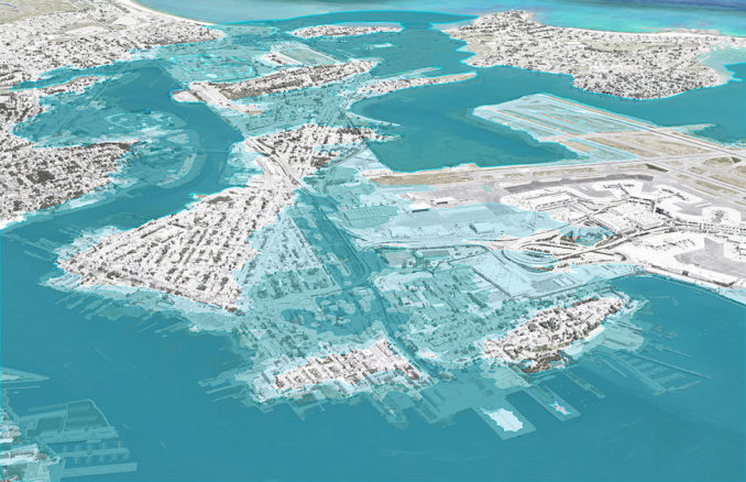
Palm Beach wants more than half a million dollars from state for climate change mitigation
Town officials are asking for more than half a million dollars from a newly created state coffer aimed at preparing Florida for the rising seas that come with climate change. The so-called Resilient...
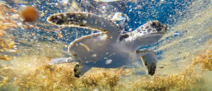
Very Young Green Turtles Go Into the Sargasso Sea
The life of young (“lost years”) marine turtles had long been a mystery. Improvements in satellite telemetry now enable to unveil part of it. North Atlantic young green turtles, in particular, seem...
Three Top Tips for using your Goniometer with Thomas Gray
Thomas Gray joined the Argos team in 2016 and has quickly become our go-to person on all things Goniometer. He brings ten years of sales and marketing experience in the underwater tech realm...
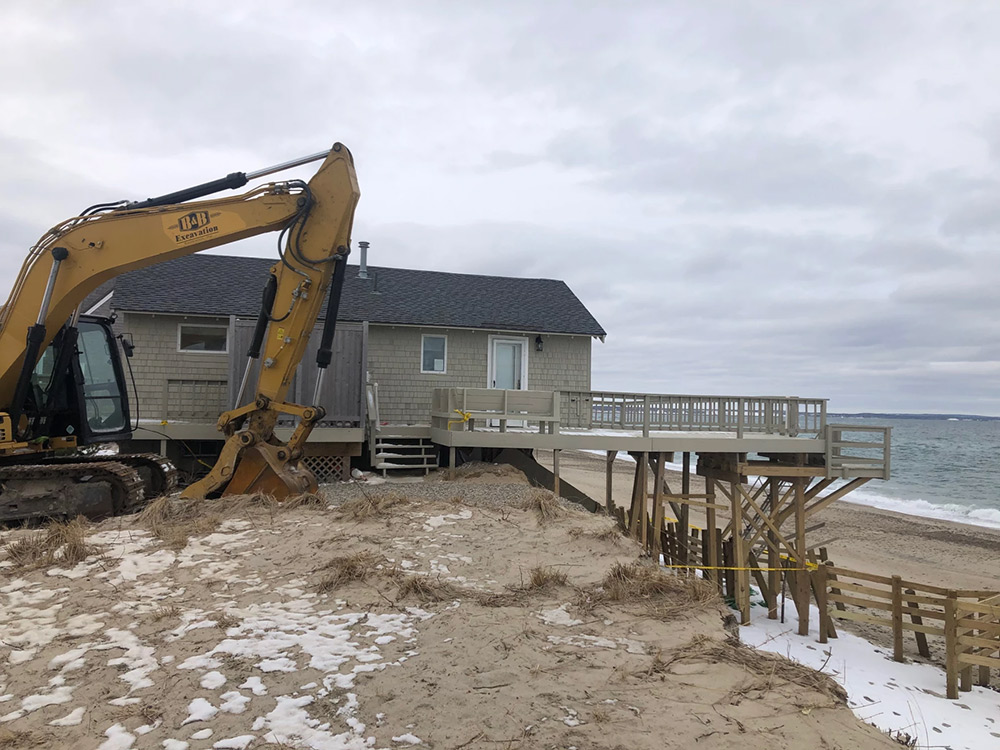
Amid Climate Change Threats, Cape Planners Ask: Is It Time to Retreat from the Coast?
Catastrophic damage from climate change threatens coastal homes all over the Cape, and Islands, prompting regional planners to eye managed coastal retreat options. Whenever a beachfront home goes on...
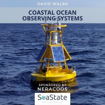
David Walsh: Coastal Ocean Observing Systems
SeaTrac Systems, Inc. (SeaTrac), in collaboration with the Woods Hole Group (WHG), successfully completed a 21 day over the horizon, deployment of SeaTrac’s SP-48 solar powered Uncrewed Surface...
Wood Hole Group Announcement: Boston’s “Stone Living Lab” is Now Online!
Boston, MA – The Stone Living Lab is a new initiative which will engage researchers, students, and our communities in testing innovative, adaptive, and equitable nature-based approaches to climate...
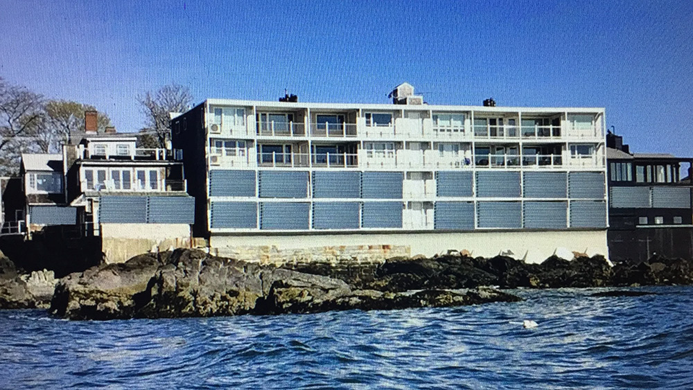
The possibility of change in Marblehead Harbor
Woods Hole Group presented possible scenarios for climate change adaptation. When it comes to mitigating the impact of climate change on Marblehead Harbor, residents were hit with a lot of...
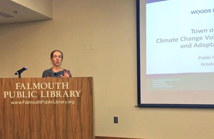
Woods Hole Group Offers Plans to Cope With Sea Level Rise In Falmouth
Building earthen berms in certain areas of Falmouth to protect vulnerable town infrastructure from flooding—and also creating a new harbor in Woods Hole—were among the ideas a Woods Hole Group...
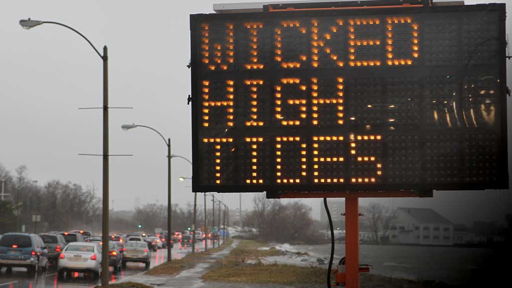
With Nowhere to Hide from Rising Seas, Boston Prepares for a Wetter Future
Boston dodged a disaster in 2012. After Hurricane Sandy devastated parts of New Jersey and New York, the superstorm hit Boston near low tide, causing minimal damage. If Sandy had arrived four hours...
Coastal Resilience Solutions for East Boston and Charles-town | STOSS Landscape Urbanism
Coastal Resilience Solutions for East Boston and Charles-town outlines near- and long-term strategies to protect neighborhoods from flooding – in two of Boston’s most disadvantaged areas. It is the...
Introducing the new Woods Hole Group
FALMOUTH, MA – Representatives from CLS America, Inc., Horizon Marine, Inc. and The Woods Hole Group Inc. announced the merging of the three companies effective January 1, 2018 resulting in the new...
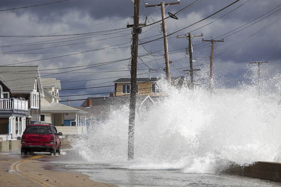
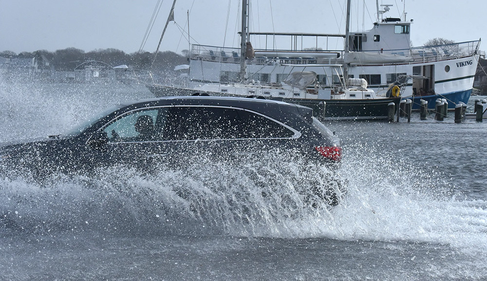
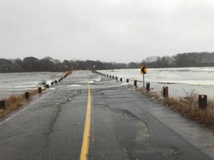
Massachusetts Hit Hard by Winter Storm
The winter storm that worked its way up the East Coast this week brought more than just snow to New England. Many communities along the coastline there are dealing with major flooding. From member...
USA: Woods Hole Group Wins Palm Beach Contract
Woods Hole Group, Inc., an international environmental, scientific, and engineering consulting organization based on Cape Cod, has been awarded a contract to review the Coastal Protection Plan for...